

U.S. Drought Monitor, December 25, 2007
Visit the NDMC Photo Gallery to see photos of drought conditions in California, Georgia, Ohio, and other states. If you have photos showing drought conditions, please consider submitting them to the Photo Gallery.
The data cutoff for Drought Monitor maps is Tuesday at 7 a.m. Eastern Standard Time. The maps, which are based on analysis of the data, are released each Thursday at 8:30 a.m. Eastern Time.
NOTE: To view regional drought conditions, click on map below. State maps can be accessed from regional maps.
|
To compare current drought conditions with last week’s map, click here. |

)
| To view tabular statistics of this week's Drought Monitor, click here. |
| To view tabular statistics for the Drought Monitor archive, click here. |
| To view Drought Monitor Change Maps, click here. |
|
NDMC's Drought
Impact Reporter |
6-week
animation |
12-week
animation |
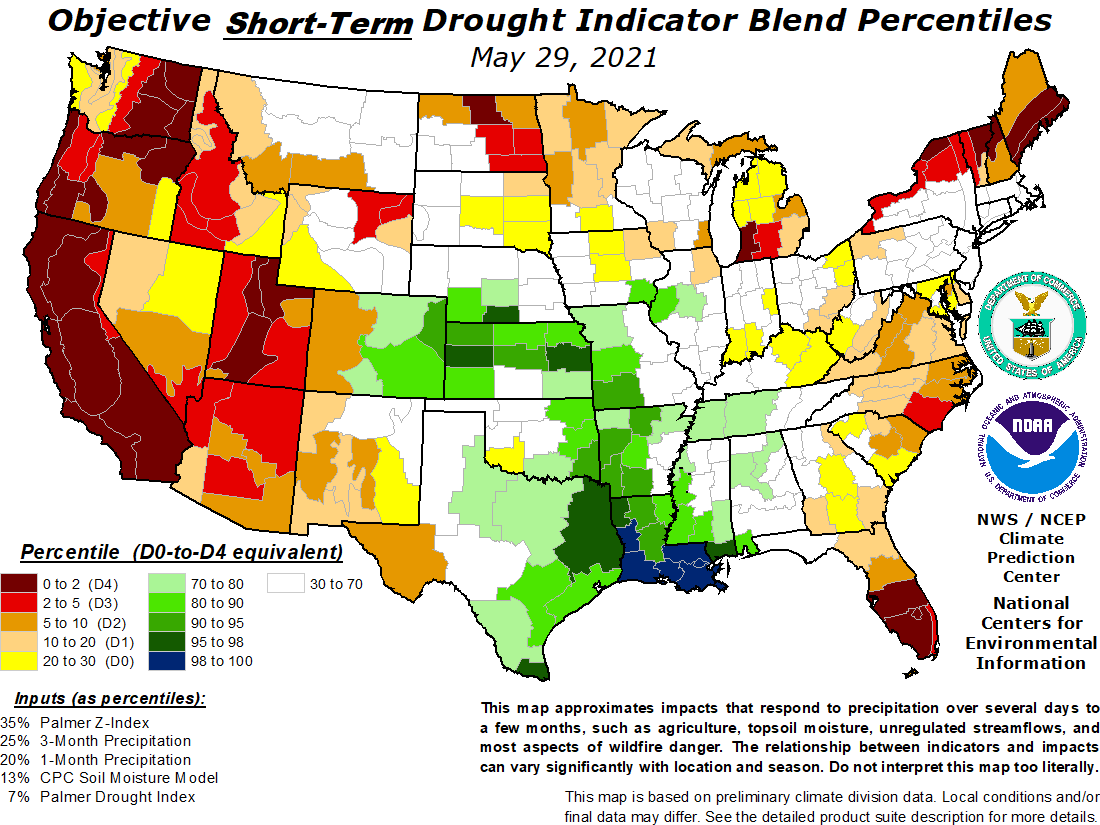
short-term drought
indicator blends |
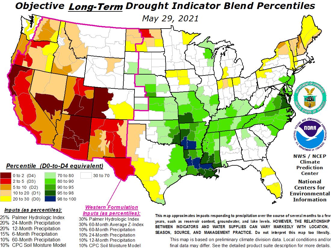
long-term drought
indicator blends |
 |
 |
 |
 |
 |
| For a .pdf version of the Drought Monitor, click here. |
| For more information on the Drought Impact Reporter click here. |
| For annual animations of the Drought Monitor click here. |
| For more information on the above experimental drought blends, see http://www.cpc.ncep.noaa.gov/products/predictions/tools/edb/droughtblend-access-page.html#exp. |
| The drought indicators that are synthesized into the Drought Monitor map are on this website, under Forecasts and Current Conditions. |
| This summary map is based on a multi-index drought classification scheme. |
| For local details and impacts, please contact your State Climatologist or Regional Climate Center. |
| Free Online Sources of Historical Weather Data |
| Contact People |
| North American Drought Monitor |
|
The discussion in the Looking Ahead section is simply a description of what the official national guidance from the National Weather Service (NWS) National Centers for Environmental Prediction is depicting for current areas of dryness and drought. The NWS forecast products utilized include the HPC 5-day QPF and 5-day Mean Temperature progs, the 6-10 Day Outlooks of Temperature and Precipitation Probability, and the 8-14 Day Outlooks of Temperature and Precipitation Probability, valid as of late Wednesday afternoon of the USDM release week. The NWS forecast web page used for this section is: http://www.cpc.ncep.noaa.gov/products/forecasts/. A series of Pacific weather systems moved across the country during this U.S. Drought Monitor week. Some of the western and southeastern drought areas received beneficial precipitation. But, except for a few areas, amounts were not enough to alleviate long-term moisture deficits.
The Southeast, Mid-Atlantic, and Midwest States: A band of 2- to 4-inch rains swept across the Gulf Coast, from Mississippi to the Florida panhandle, and up across southern Georgia. D0/D1/D2 were pulled back in southeastern Alabama, with D3 slightly adjusted to reflect the areas of greatest improvement to the long-term conditions. Savannah, Georgia, received over 7 inches of rain, bringing the year-to-date totals to near normal. As a result, D0/D1/D2 retreated in the Savannah area. One to 4 inches of precipitation fell across western Tennessee and Kentucky and extreme northern Alabama, just outside the drought areas. The core drought area in the Southeast received an inch or less of rain, which was not sufficient for significant improvement. While this is the dry season across Florida, the last 2 months have been unusually dry. Miami has received only 1.45 inches of rain since November 1, compared to a normal of 5.25 inches, or 28 percent of normal. West Palm Beach has received only 39 percent of the normal November 1-December 25 rainfall. Groundwater levels from southern Palm Beach County to interior Miami-Dade County were within the lowest 10 to 30 percent, with some in the lowest 10 percent of historical elevations. D0 expanded slightly in southern Florida, reflecting increasing rainfall deficits, increasing risk of fire danger as indicated by KBDI values, and decreasing groundwater levels. The Northeast: Rain and snow were reported across the Northeast, with the heaviest amounts occurring outside the abnormally dry area in southern New England. D0 remained across parts of Connecticut, Massachusetts, and Rhode Island, reflecting lingering hydrological impacts. The Plains and South: A major snowstorm snarled traffic across parts of the Plains this week. Half an inch to an inch of precipitation fell in the northern Black Hills of South Dakota, enough to shave the D2 from that area. Otherwise, precipitation amounts over the drought and abnormally dry areas were generally less than half an inch, so no other improvements were made to the depiction. No precipitation fell over southern Texas, further deepening deficits that have been growing for the last 4 months. Since this is the dry season there, lakes and reservoirs are in reasonably good shape, and minimal impacts have been reported, no degradation was made to the D0 depiction in southern Texas this week. The West: The winter storms this week brought welcome rain and snow to many basins, with some areas receiving several inches of precipitation, but amounts were less than half an inch in most locations. The heaviest amounts of 5 to 10 inches occurred over drought-free coastal Oregon and Washington. Two to 4 inches of moisture fell in favored upslope areas of interior California, but snowpack conditions in the Sierra Nevada basins, for example, were still less than 70 percent of average for this time of year. Continued low reservoirs, below-average mountain snowpack, and long-term precipitation deficits resulted in no change to the depiction in the West. Alaska, Hawaii, and Puerto Rico: The week was drier but colder than normal across most of Alaska. An inch or less of rain fell in Puerto Rico this week, but the month-to-date has been wetter than normal. The rainfall pattern over the Hawaiian Islands was mixed but mostly drier than normal. No changes were made in these areas this week. Looking Ahead: The parade of Pacific weather systems will continue during the next week, bringing rain and snow to many areas of the country. An inch or more of precipitation may fall by December 31 in the northern Rockies with a few other drought areas in the West receiving up to half an inch. Heavier amounts, up to several inches in places, are forecast for the non-drought areas from northern California to western Washington. Several weather systems are forecast to bring an inch or more of precipitation to the eastern third of the country, from Louisiana to New England, while up to 3 inches may fall across parts of the core drought area in the Southeast. Temperatures are predicted to be below normal in the western U.S. and above normal in the east. For January 2-8, drier-than-normal weather is expected for the southern half of the nation and the Great Plains, as well as Alaska, while the Pacific Northwest and Northeast should be wetter than normal. The period is expected to start out colder than normal in the southern half of the country and warmer than normal in the northern half, with the above-normal temperatures expanding to cover most of the Lower 48 States by the end of the period. Alaska is forecast to continue colder than normal. |
| Dryness Categories |
|
D0 ... Abnormally Dry ... used for areas showing dryness but not yet in drought, or for areas recovering from drought. Drought Intensity Categories D1 ... Moderate Drought D2 ... Severe Drought D3 ... Extreme Drought D4 ... Exceptional Drought Drought or Dryness Types A ... Agricultural H ... Hydrological Updated December 26, 2007 |
www.drought.unl.edu/dm/monitor.html